Monday, July 25, 2022

"Utter Devastation Everywhere You Looked"


Just published (this past May), The 1965 Palm Sunday Tornadoes in Indiana by Janis Thornton (Charleston, S.C.:  The History Press, 2022) features eyewitness and published accounts, photographs, and official weather reports and records detailing the appalling destruction that claimed some 137 Hoosier lives on April 11, 1965.  If you or your family or friends experienced this horror, this book will stir poignant memories.  It certainly did for me.


 MPL Book Trailer 813


I was an eyewitness to some of the devastation, although my immediate family was spared.  I was nearly seven years old the night of the terrible thunderstorms.  About 20 miles south of my hometown, Lafayette, tornadoes tore through the tiny farming community of Odell, where my parents later owned farmland that had been struck by the twisters.  We lived on the south side of Lafayette.   Around 7 p.m. golfball-sized hail struck our house, denting our siding.  Tornado warnings were issued on the radio, so my family fled to our basement, huddling in a corner next to the furnace.  We were fortunate not to have been in the tornadoes' paths, but several extended family members in Howard County were not so lucky.  The tornadoes passed directly through their farms and neighborhoods.

As news of the ravaged communities came in across radio and television, we repeatedly attempted to contact my paternal grandparents, who lived southeast of Greentown where tornadoes had been reported to have tracked.  The telephone lines were down, so the next day we decided to drive our 1963 Dodge motor home to my grandparents' home in case it had been reduced to rubble.

We drove east on State Road 26, encountering a trail of damaged homes and businesses in Rossville and Middlefork.  When we reached Russiaville, the Indiana State Police and the Indiana National Guard had setup roadblocks to  detour vehicular traffic.  Seeing our red-and-white bus suggested that we must have been from the Red Cross, so police and soldiers opened their barracades to allow our vehicle to pass.

As we drove through Russiaville, houses and buildings had been wiped off the face of the earth.  In many cases, nothing was left but foundations or concrete slabs.  Debris was littered everywhere, making it difficult to navigate through town along the roads.  It looked like a war zone.  It was utter devastation everywhere you looked.  The memory of this absolute annihilation has stayed with me for nearly sixty years.

Driving through Kokomo, we checked with an aunt and uncle (and cousins) who lived just west of town.  Their house had had minor damage, and fortunately no one was hurt.  So we proceeded east to Greentown, my father's hometown.  The area south of town was a checkerboard of destruction.  Some homes and businesses were only mildly affected; others were absolutely obliterated.  Eastern High School was ripped apart.

Driving down my grandparents' county road just east of Greentown was a nightmare.  Almost every house or barn was mutilated, and many were simply blown to smithereens.  The house about 200 feet north of my grandparents' farm was so heavily damaged that it was unrecognizable.  My grandparents' home, however, lost only three shingles, and their barn and outbuildings were more or less untouched.  The arbitrariness of the injury seemed capricious, even to my nearly seven-year-old sensibilities.  So many had lost so much.  It was heartwrenching, but I was nonetheless overjoyed that my grandparents had been spared.

Janis Thornton has assembled an impressive collection of stories about this fateful day when so many suffered such unthinkable loss.  We can, however, take this positive message from the events of Palm Sunday 1965:  people came together to help their neighbors, and communities rebuilt and unified, sharing each others' strength.  For those who weren't there, it will be a riveting read; for those who lived it, the book is a testament to the best people have to offer in times of crisis, and it honors the dead, injured, and affected families by preserving an important historical event.  Terrible things can happen in life, but it is reassuring that helping hands arrive when the need is greatest to aid in the recovery.


Remember Fold-Out Paper Maps?

In the "good ol' days," before smartphone digital apps directed us along precise routes to our destinations, we had digital maps we could view using MapQuest or Google Maps or some such web-based system (using our laptops or desktop computers).  Some of us remember the even further-back "gooder ol' days" (apologies for being ungrammatical for the sake of a laugh) when people used paper maps.  You know, the kind that you'd unfold, stare at blankly, then struggle to refold correctly.

"You Are Here .."  Where's That, Now?

Perhaps paper maps have gone the way of the dinosaurs, but they can be valuable historical documents, as they're a snapshot-in-time of the way a place used to look (at least on a map).  There are old streets that may no longer exist or have been renamed.  Routes may have changed, or new highways constructed.  Advertisers place the map in time, too.

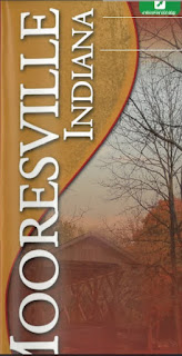
The Mooresville Chamber of Commerce produced a paper map that they distributed (ca. 2005) that shows Mooresville, Indiana as it looked then.  There are a few copies floating around, but we've digitized one so you can see it online.  Click the image below.


The reverse side of the paper map shows Morgan County, Indiana.
 
If you have a paper copy of this map, tuck it away safely for your great-great-grandchildren to look at a century from now.  Mooresville will undoubtedly look quite different.  It certainly has changed significantly since a century ago.


Thursday, July 21, 2022

Following Paul Hadley's Footsteps

Depending upon our road trip budget, which is frankly zero, this may be the first in a series of blog posts following the footsteps of Paul Hadley (1880-1971), a Mooresville artist who designed the Indiana State Flag.  Read more about Mr. Hadley on this blog. You could also check-out several books about Mr. Hadley from Mooresville Public Library's Indiana Room (see the Evergreen Indiana online catalog for details).


Paul Hadley (left) and Ralph E. Priest at the
John Herron Art Institute in Indianapolis
applying gold leaf to Hadley's Indiana State Flag
design (ca. 1923)  Hadley was an instructor,
and Priest a student, at Herron

Mooresville Public Library is fortunate to have many original Paul Hadley paintings on display.

Paul Hadley Painting Gallery at MPL
(January 2012)
(Click photos to enlarge)

Let's consider one of Mr. Hadley's fine watercolors, shall we?

 Paul Hadley Painting of Cataract Falls
(Mill Creek, Owen County, Indiana)
South of Cloverdale, Indiana


I took a road trip in July, 2014 to compare the modern Cataract Falls to those Mr. Hadley painted nearly a century ago.

Cataract Falls (Lower Falls) (July 4, 2014)

I'm thinking Mr. Hadley painted the lower falls, since the water spilling over the rock face looks similar on the far left and near right.  The rock on the right was exposed in Mr. Hadley's painting; in our photo, you can tell it's beneath the water by the way the stream spills outward over the top of the outcropping.  The general rock shapes in Mr. Hadley's painting also resemble those in our photo of the lower falls.

Or is it the upper falls?  You be the judge.

Photoshopped Cauli Le Chat at Cataract Falls (Upper Falls)
(July 4, 2014)

The upper falls don't really resemble Mr. Hadley's painting, but take a peek at the video below. The video (2002) was recorded when the water level of Mill Creek was lower, and some of the underlying rock face was exposed.  My vote remains with the lower falls, however.


We have a boatload of photos from our adventure at Cataract Falls, but I'd like to include them in another blog post.

Cataract Falls (Following Paul Hadley's Footsteps)

On July 4, 2014, we travelled to Cataract Falls State Recreation Area on Mill Creek, in northern Owen County, Indiana (just south of Cloverdale).  The falls are just upstream of Cagles Mill Lake (Lieber State Recreation Area).


Click Images to Bigify

Click Map to See Original

We were retracing Paul Hadley's footsteps as we explored the places he painted roughly a century ago.  Our first stop was the upper falls, followed (wait for it . . .) by the lower falls.  Mr. Hadley captured both of these in watercolor, which are on display at Mooresville (Indiana) Public Library.

 Cataract Falls (Upper Falls)
by Paul Hadley


 Cataract Falls (Lower Falls)
by Paul Hadley


Although our photos are nowhere near as breathtaking as Mr. Hadley's paintings, let's compare them, just for fun.

 Cataract Falls (Upper Falls)

Cataract Falls (Lower Falls)

Mill Creek watershed looks considerably different than it did about a century ago, when Paul Hadley traversed the rugged countryside to paint the scenery.  In 1952, Cagle Hills Lake was built just downstream of the lower falls to become Indiana's first flood control reservoir.  It now comprises the Lieber State Recreation Area.

Photoshopped Cauli Le Chat at the bottom of the Upper Falls

 Looking down at the Upper Falls

 Just above the Upper Falls, looking downstream

Atop the Upper Falls, looking across stream
(We'll be over there shortly)

Owen County's last covered bridge sits immediately upstream of the Upper Falls.

 Cataract Falls Covered Bridge


  Resting a spell at the covered bridge

Picnic with a view

Looking downstream from the center
of the covered bridge

 Factoids about the covered bridge


We left the bridge to explore the river bank on the other side.  It was treacherous walking through the heavy underbrush, at least for some of us.

  Having a little difficulty blazing the trail

Who put that tree there?

 The Upper Falls from the other side

Other side downstream of the Upper Falls

On our way back to the car, we noticed an old water pump.  I don't think much water will be forthcoming any time soon.

Where's the pump handle?

Bob Dylan would tell us that "the pump don't work 'cause the vandals took the handles" ("Subterranean Homesick Blues" [1965]).

We next drove a short distance to the Lower Falls.

 The Lower Falls

 How'd those fishing folks get down there?

Looking downstream above the Lower Falls

  Closer to the edge than I'd be standing


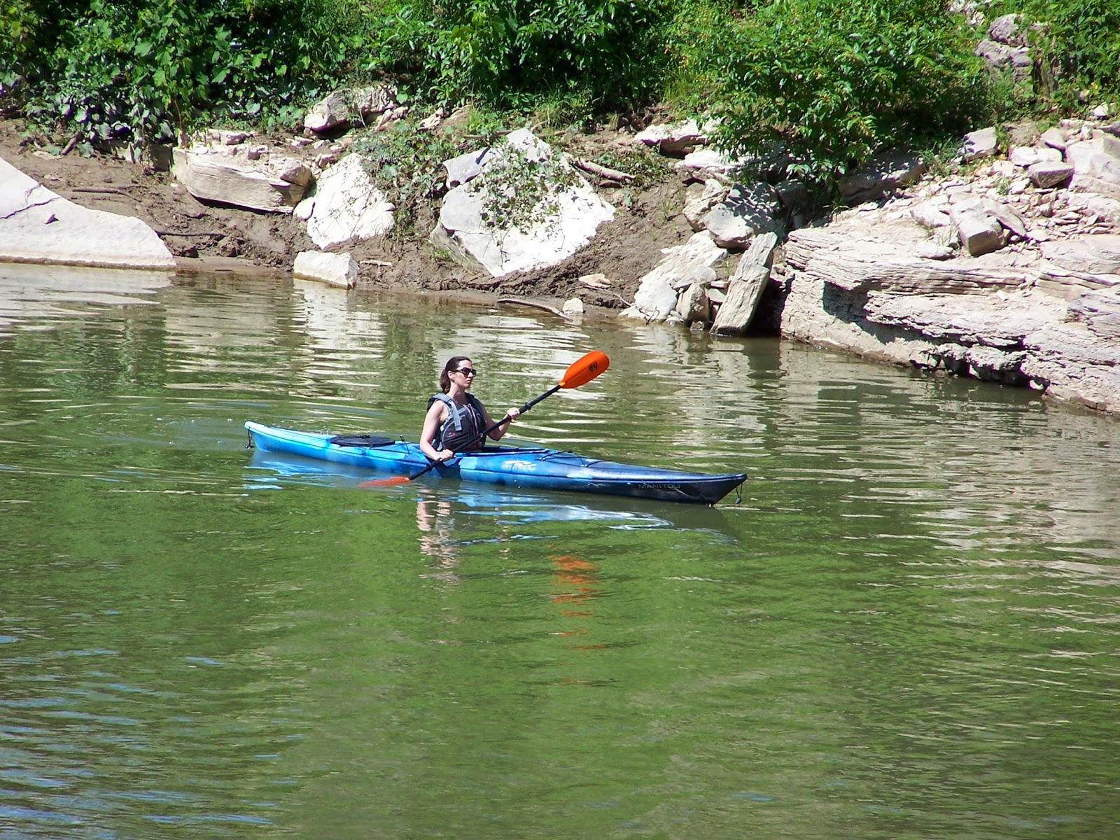
 Kayaking below the Lower Falls
(Well, not immediately underneath)

 "What are they biting on?"
"The end of my fishing line"

 
It was a really cool place to visit.  I can see why Mr. Hadley chose to paint this beautiful area. You should visit, too.
 

Brooklyn Covered Bridge (Following Paul Hadley's Footsteps)

Once again, we're walking in the footsteps of longtime Mooresville resident Paul Hadley (1880-1971), who designed the Indiana State Flag and was a well-known impressionist watercolor artist who taught students at the Herron Art Institute in Indianapolis.

In the summer of 2014, we visited the Brooklyn Bridge.

Not That One!

Let's begin by showing Paul Hadley's painting of the covered bridge that once stood in Brooklyn, Indiana, which is displayed at Mooresville (Indiana) Public Library.  Click the photos to enlarge.


Compare painting with this 1911 photo of
the Brooklyn mill, dam, & covered bridge
[courtesy of Stuttgen, Joanne Raetz & Tomak, Curtis.
Morgan County (Postcard History Series) (2007).
Charleston, SC: Arcadia Publishing, p. 87]

Hadley painted the bridge (well, more precisely, his painting OF the bridge) nearly a century ago--but probably after Brooklyn Mill was demolished in 1924 (see photo above).  The covered bridge is no longer there (neither are the dam or mill), but now there's a concrete bridge (constructed in 1948) in approximately the same spot crossing White Lick Creek at Brooklyn's edge.  You can tell by the terrain that this was the correct bridge location--plus we know the road leading into (and out of) town historically crossed the river thereabouts on the way to Brooklyn cemetery (further southward).  Plus we have that 1911 photo above (and historical caption), which pretty well nails the thing down tight.

Brooklyn Bridge Today

  Janet Buckley (Head of Technical Services at
standing upstream of the modern bridge
looking downstream (south)
along White Lick Creek

Observant readers will have noted that Hadley must have been standing downstream of the covered bridge near the eastern bank of White Lick Creek (looking north at the west end of the covered bridge). He was probably painting approximately where that fishing person is standing in our above photo (look left beneath the bridge).  Hadley might possibly have stood in the river's shallow waters to capture the perspective.

Upstream (north) view of White Lick Creek
(the modern bridge is behind photographer)

Watch out for traffic across the bridge!

Photoshopped Cauli Le Chat (with "Flat" Cauli) & Janet Buckley

 
The concrete bridge is certainly utilitarian, but it lacks the grace of its wooden ancestor Hadley so elegantly captured in his watercolor painting. White Lick Creek, too, looked more charming with those rocks and that little waterfall.

When I first saw Hadley's painting at the Library, I mistakenly thought it was the red covered bridge that, a century ago, spanned the East Fork of White Lick Creek on the Waverly Road (now State Road 144) at Mooresville's outskirts.  Upon closer inspection, however, it's obviously not that bridge in Hadley's painting.  See what you think.

Brooklyn's covered bridge was quite charming.  I'm glad we know its beauty, thanks to Paul Hadley.